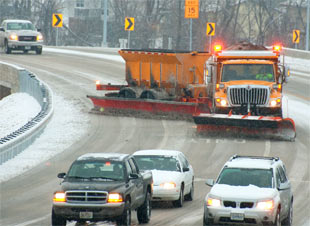
An Upper Peninsula lawmaker is reintroducing a bill to give counties an opportunity to get first bid on affordable plows that the Michigan Department of Transportation auctions.
The funds will partially reimburse more than 30 communities in the northern Lower and Upper peninsulas for repairing damaged roads and water mains, and to wrap up construction before the cold weather sets in.
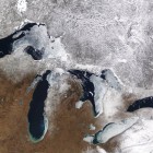
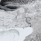
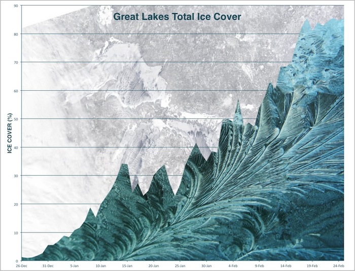
The longest period of ice cover in the Great Lakes officially ended on June 6 — much to the relief of everyone who suffered post-traumatic stress from last year’s harsh winter. The National Oceanic and Atmospheric Administration [NOAA] recently released a year’s worth of Great Lakes surface temperatures. The animation at right shows ice cover and temperature for one day each month of the year. The one below shows the same information for every day of the year. In the 40 years of collecting data there hasn’t been ice cover that has lasted this long, said Anne Clites, physical scientist for the NOAA.