Echo
Lake Michigan refuge fails to nurture wild lake trout
|
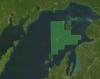
A 1985 revamp of the plan to restore lake trout in Lake Michigan focused stocking on two relatively shallow, rocky sections of Lake Michigan where fishing for the species was banned.
Great Lakes Echo (https://greatlakesecho.org/2010/08/)
A 1985 revamp of the plan to restore lake trout in Lake Michigan focused stocking on two relatively shallow, rocky sections of Lake Michigan where fishing for the species was banned.

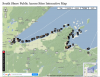
An interactive map from the Indiana Geological Survey shows a string of scenic beaches and natural areas along Indiana’s Great Lakes shoreline.

Planes outfitted with lasers have been probing the depths of Lake Superior for the past two months. Their mission? Measure lake bottom elevations along the coast using a laser surveying technique called LIDAR, or Light Detection and Ranging. The process is similar to how bats and dolphins use sound waves to judge distances. The planes shoot lasers into the water and measure how long it takes for the pulses to hit lake bottom and return; time indicates water depth.

Great Lakes states placed in the bottom two-thirds of 30 states ranked recently by their 2009 beach water quality by the Natural Resources Defense Council.
Sierra Magazine recently ranked the nation’s greenest colleges. The Sierra Club’s publication asked 900 schools about their global warming and sustainability initiatives.
If you unraveled the shoreline of the Great Lakes, it would just fall short of stretching half way around the Earth. The region has more than 10,000 miles of coast, and a good portion is open to the public for recreation.
Many states have interactive maps that display water trails – water routes for boaters and paddlers – and provide information about beach access and amenities.

Mike Nichols doesn’t take a position on global climate change. He just writes newspaper editorials downplaying its effects. Nichols, a senior fellow with the free-market think tank Wisconsin Policy Research Institute, took exception in a recent column to the term “climate chaos,” which has gotten a lot of media play as floods drown Pakistan and a heat wave bakes Russia. In a recent article in the New York Times, reporter Justin Gillis describes the connection between chaotic weather and greenhouse gasses:
“Theory suggests that a world warming up because of those gases will feature heavier rainstorms in summer, bigger snowstorms in winter, more intense droughts in at least some places and more record-breaking heat waves. Scientists and government reports say the statistical evidence shows that much of this is starting to happen.”

U.S. cities are dumping a Niagara of sewage into the Great Lakes.
A recent report recommends sewer upgrades to avoid beach closures and drinking water threats.
Such improvements are not eligible for a recent influx of federal clean up dollars so a coalition of environmental groups is urging a boost in low-interest sewer construction loans.
Mistaken identity.
Snakeheads, a scary looking potential Great Lakes invader, apparently have not yet been discovered within the system.
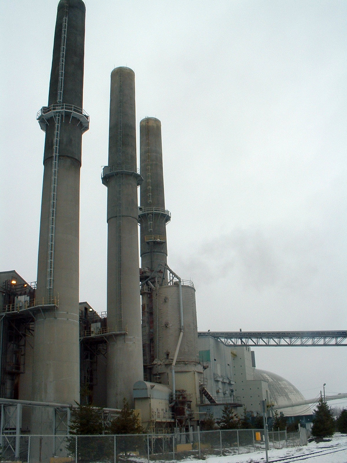
The U.S. Environmental Protection Agency got tough on the nation’s cement plants this week, issuing new pollution standards that will force the industry to cut air emissions of soot and harmful chemicals like mercury.