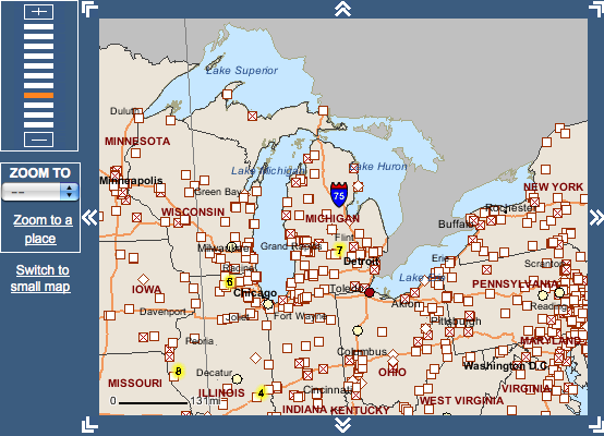
Explore federal data on chemical releases and contamination using ToxMap, an interactive map from the world's largest medical library.
Roughly 7,400 industrial facilities in the Great Lakes region reported the release of toxic chemicals in 2008, according to U.S. Environmental Protection Agency data.
The National Library of Medicine, the world’s largest medical library, mapped them to illustrate their impact on public health.
Great Lakes residents can explore those affecting the region with ToxMap.
Start by choosing a state or region.
Small, blue squares represent toxic releases and facilities. Users can also view the largest increases and decreases of chosen contaminants. Large, red squares indicate sites in a federal Superfund program established to cleanup toxic wastes.
Site details below the map list contaminants, cleanup progress and public health assessments. Click on a contaminant to learn of possible human health effects.
Some facility details also display hazard rankings used to place sites on a national priorities list.
Last year, Great Lakes Echo reporters used toxic release data to examine environmental and health impacts of coal-fired power plants in the Great Lakes Echo. Check out the series here.
Note: The interactive maps are also viewable in Google Maps and Google Earth.