 Months of heavy rain in the Midwest killed 13 people and caused more than $10 billion in damage during the summer of 2008. States recorded record high stream flows and floods breached many dams and levees across the region.
The disaster garnered national attention.
Now there’s a way of getting a quick warning of similar disasters. Users of a new service by the United States Geological Survey can receive instant updates on developing floods.
The agency’s WaterAlert service combines mapping technology with text and e-mail warnings to deliver real-time flood conditions and water quality reports.
Users can chose to receive customized notifications on water temperatures, flows, levels and quality in rivers, lakes and groundwater. Just choose a state, data type, water variables and delivery method for an instant report.
The information comes from the National Water Information System, a network of 1.5 million survey sites across the country. Users can get real-time water conditions from 10,000 of those sites.
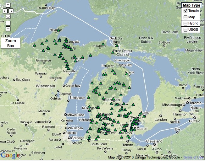
There are 1,714 streamgaging sites in the Great Lakes region, said Brian McCallum, creator of the WaterAlert service and assistant director of the USGS Georgia Water Science Center. But that figure doesn’t include real-time groundwater and water-quality sites.
The technology is especially useful in a region that holds roughly 20 percent of the world’s fresh water, but who’d use it?
It’s perfect for water resource managers, business operators and flood responders, said Matt Larsen, associate director for water, in a public statement.
Residents can also use the service to relate their property elevations to flood levels of nearby streams, McCallum said.
“I think it is pretty safe to say that every citizen’s life is impacted by USGS streamgage data – whether they know it or not – by turning on the faucet, to flushing a toilet, to driving over a bridge designed to withstand a major flood, to the level of insurance they pay if they live near a waterway,” he said.
Boat enthusiasts will find the water level feature especially helpful, said Wade Blackwood, American Canoe Association executive director. Boaters can stay up-to-date on water conditions even when they’re out on the water.
The agency’s Cooperative Water Program, National Streamflow Information Program, and data-collection partners support the service.
Here’s a list of streamgaging stations in the Great Lakes region:
– Minnesota, 144 sites
– Wisconsin. 214 sites
– Michigan, 165 sites
– Illinois, 227 sites
– Indiana, 199 sites
– Ohio, 210 sites
– Pennsylvania, 316 sites
– New York, 239 sites
What do you think? How would you use the WaterAlert service?