Beaches
Commentary: Beaches of Lake Michigan
|
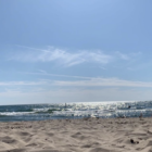
It was almost hypnotizing, hearing the calls of seagulls and the splashing of the tide as I took in this serene view.
Great Lakes Echo (http://greatlakesecho.org/tag/lake-michigan/)
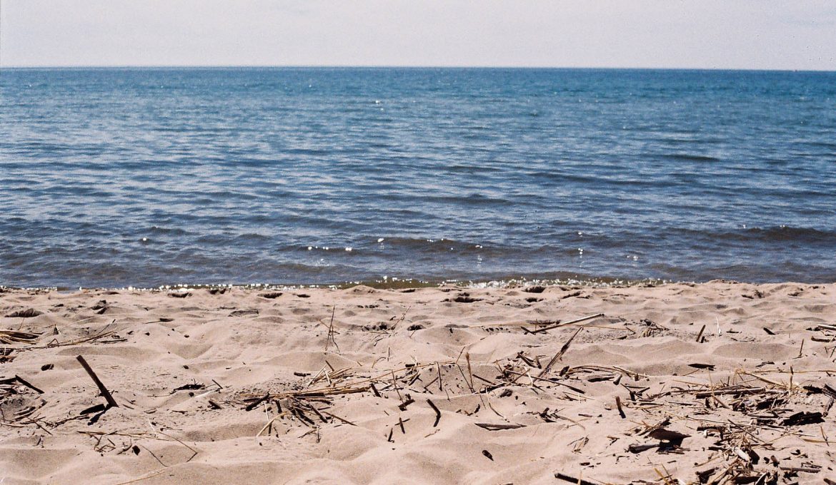
It was almost hypnotizing, hearing the calls of seagulls and the splashing of the tide as I took in this serene view.
Jamie Racklyeft, the executive director of the Great Lakes Water Safety Consortium in Ann Arbor, Michigan, said the reason Lake Michigan has the most drownings among the Great Lakes is a combination of wind direction and tourism.
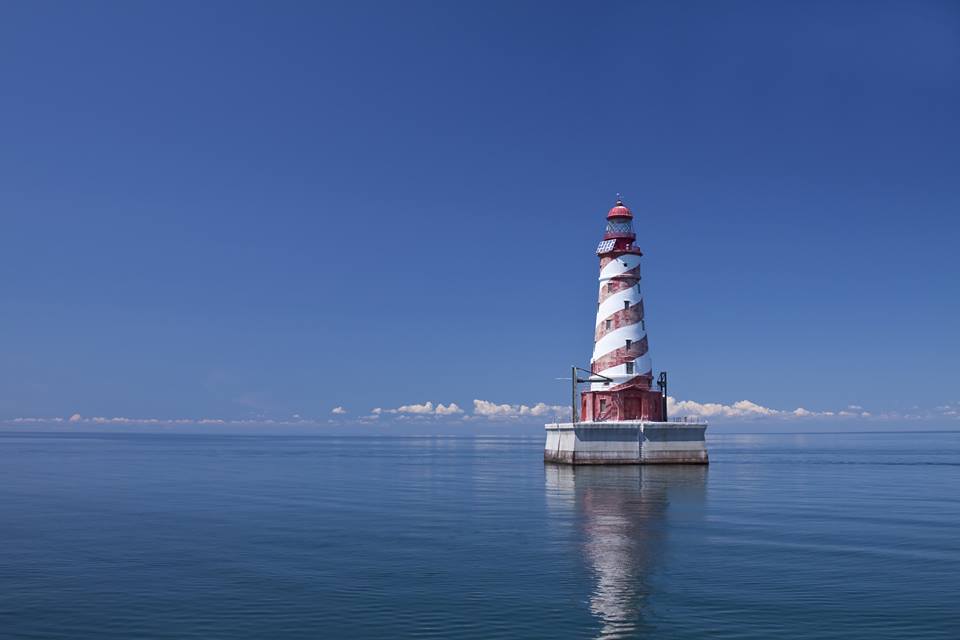
How would you like to spend the night in a 1950s-style offshore lighthouse with no land in sight?

A kiteboarding and drone enthusiast captures stunning views of Lake Michigan beaches.
Last week, as much as 1,600 gallons of oil spilled into Lake Michigan from the BP refinery in Whiting, Indiana, 20 miles from Chicago. After a week-long cleanup, authorities say they have found no further trace of spilled oil in the area. However, the political ramifications of the spill are likely to remain long after this incident.
[cincopa AIHA8J7VAKQ9]
(Photos by Lloyd DeGrane, Alliance for the Great Lakes)
The course of the Chicago River, reversed over a century ago by the Chicago Sanitary and Ship Canal to prevent the flow of waste water into Lake Michigan, was re-reversed April 18 to alleviate flooding in the city in the wake of serious storm conditions, according to an Associated Press report. These photos show dark stormwater and untreated waste water flowing into the lighter waters of Lake Michigan, according to the Chicagoist, a popular news blog for the Chicago area. Echo has previously reported on the increasing frequency of urban flooding problems in Chicago and the Midwest.

The National Park Service and MichiganTrailMaps.com have produced new trail maps of a pair of Lake Michigan islands near Traverse City, Mich. North Manitou Island and South Manitou Island, part of Sleeping Bear Dunes National Lakeshore, have been added to MichiganTrailMaps.com’s Classic Trails of Michigan map series. Each map illustrates trail grades, primitive roads, maintained trails and unmarked modern and historic pathways. They also mark historic sites, ruins, natural features, elevation changes and hiking amenities found throughout the islands. Each map costs $4.95, and are available at the Sleeping Bear Dunes Visitor Centers, MichiganTrailMaps.com, the Manitou Island Transit ferry company and outdoor shops throughout the state.

In this photograph from NASA’s Earth Science Photo of the Day, a January thaw caused this ice shelf on the Lake Michigan shoreline to collapse near Winnetka, Ill., according to photographer Neil Libby. As successive winter storms buffet the coast with strong winds and large waves, icy slush builds up on the newly-formed shore ice, creating ice shelves. The ice shelf pictured here stood 8 feet above the water.

Three Great Lakes locales are listed by Business Insider as among the 10 best small towns in America. Traverse City, Mich., Door County, Wis. and Galena, Ill. are among those recognized March 31 for unique atmospheres, charming shops and restaurants and scenic beauty. “In a time when “authentic” is a travel buzzword, these hamlets are attracting visitors with an often unexpected–and surprisingly sophisticated–array of independent and locally-minded cultural, outdoor, and culinary offerings,” reports Business Insider, a business and technology news website.