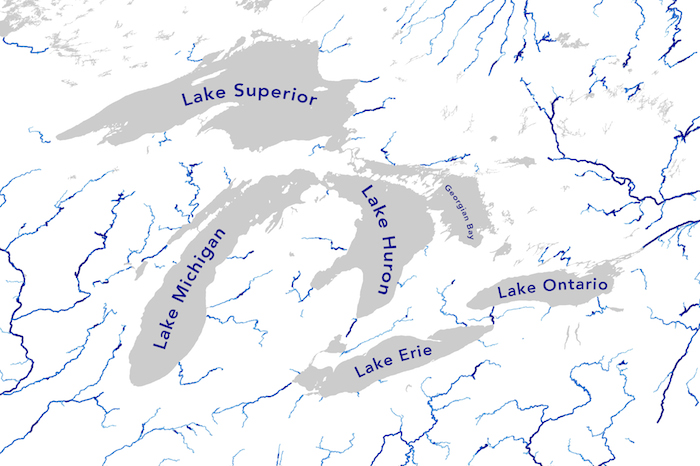
Water
Peering beneath Great Lakes ice
|
A recent study may lead to better predictions of wintry water conditions as researchers use new techniques to look below and listen to Great Lakes ice.

Great Lakes Echo (https://greatlakesecho.org/tag/satellites/)
Satellites provide an usual view of the Great Lakes environment.
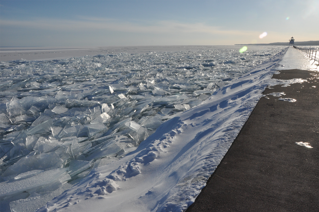
A recent study may lead to better predictions of wintry water conditions as researchers use new techniques to look below and listen to Great Lakes ice.

Drowning in data? Come up with an app or other product that uses one of the myriads of Great Lakes data sets and you can win up to $5,000. Categories include invasive species, water quality and climate change.
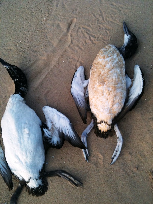
Tracking how they drift could lead to the source of what’s killing them. Increasing algae growth may be implicated.

Researchers discovered that satellite imagery depicting algae cover of lake beds can help identify places where lake trout spawn.
Scientists are swapping topographic maps for satellite images as part of a new NASA mission to create the first global inventory of the Earth’s surface waters. It could mean they contribute more to global warming than previously thought.
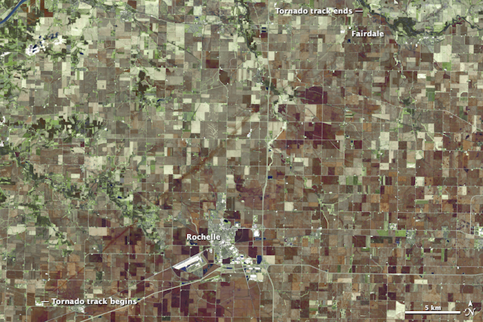
An image from a NASA earth observation satellite traces the twisted trail of debris left by the Fairdale, Ill. tornado, and drone footage shows the destruction from below.
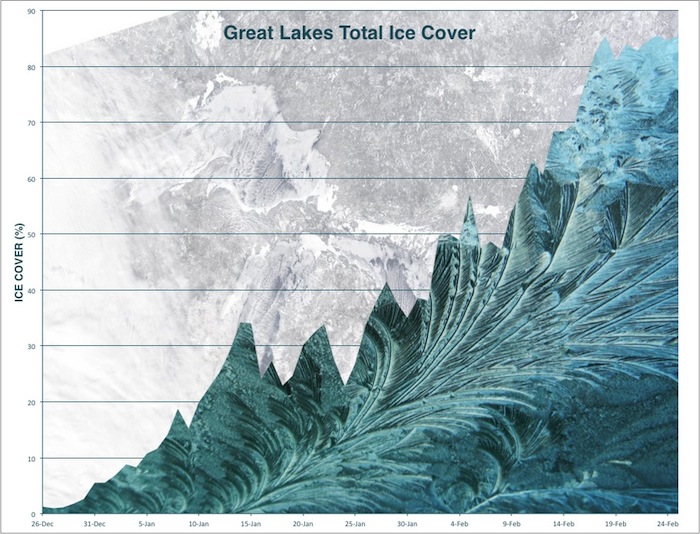
This week’s subzero temperatures have the Great Lakes nearing record levels of ice coverage.

Check out the improvements in Chicago, Detroit, Milwaukee, Gary, Toledo, Cleveland.
The longest period of ice cover in the Great Lakes officially ended on June 6 — much to the relief of everyone who suffered post-traumatic stress from last year’s harsh winter. The National Oceanic and Atmospheric Administration [NOAA] recently released a year’s worth of Great Lakes surface temperatures. The animation at right shows ice cover and temperature for one day each month of the year. The one below shows the same information for every day of the year. In the 40 years of collecting data there hasn’t been ice cover that has lasted this long, said Anne Clites, physical scientist for the NOAA.
Russia’s Lake Baikal is the deepest lake in the world and holds more freshwater than all of the North American Great Lakes. This shot featured on NASA’s Earth Observatory was taken from the International Space Station on April 22. Much of the lake is covered with ice. The brightest point reflects the sun from where the ice has begun to melt, according to NASA.