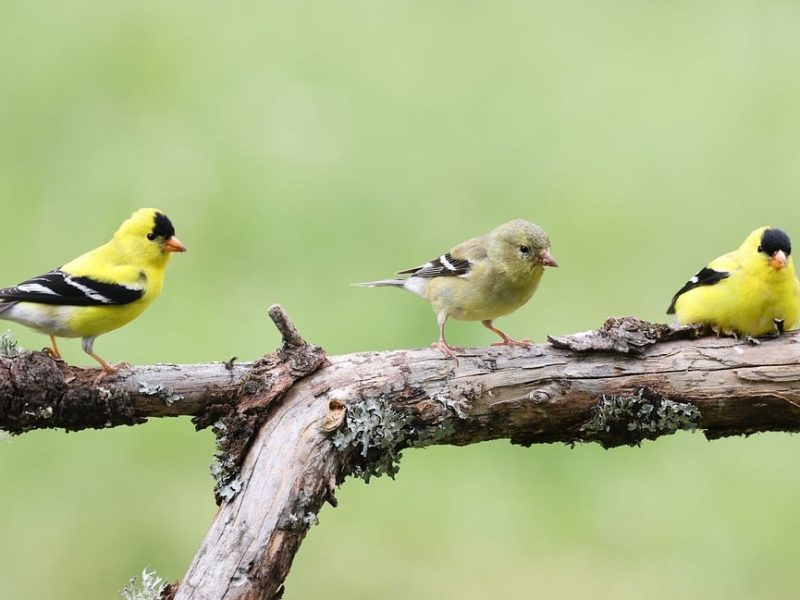
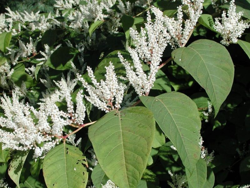
Michigan reduced funding for invasive species projects by $1.2 million. Conservation organizations like the regional Cooperative Invasive Species Management Areas (CISMAs) are rethinking their funding priorities for 2026 and beyond.
Great Lakes Echo (https://greatlakesecho.org/category/land/)
This category encompasses land-based issues. It is further segregated with tags into such issues as farm, urban redevelopment or decay, forest, mining.
Michigan reduced funding for invasive species projects by $1.2 million. Conservation organizations like the regional Cooperative Invasive Species Management Areas (CISMAs) are rethinking their funding priorities for 2026 and beyond.
By Anna Ironside
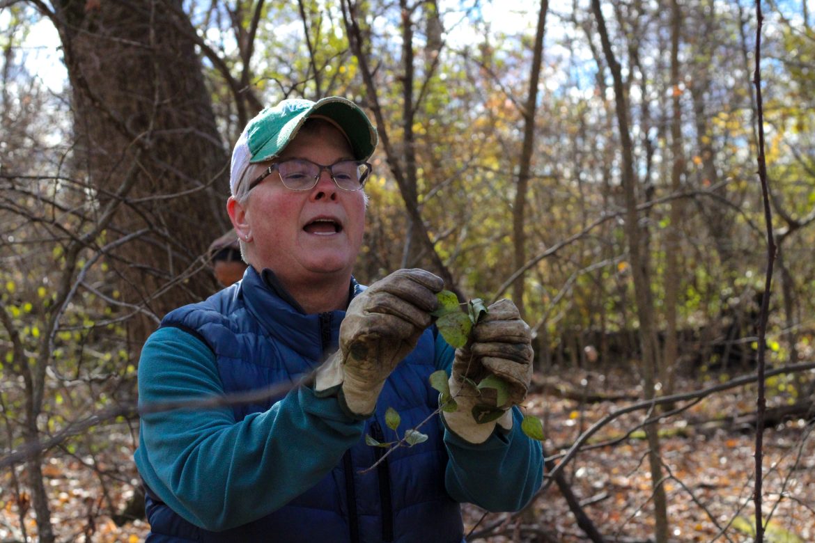
Carolyn Miller is a botanical technologist at Michigan State University’s W.J. Beal Botanical Garden, as well as a master’s student. Her work has made her a driving force behind restoration projects on campus and beyond. From invasive species removal days to a growing movement to replace traditional turf lawns with native landscapes, Miller doesn’t quit.
By Clara Lincolnhol
Michigan is pouring $77 million into clean-up of contaminated abandoned real estate such as former factories. The director of the Department of Environment, Great Lakes and Energy says the goal is to make the cleaned-up sites safe for housing, commercial developments and other uses.

By Kyrmyzy Turebayeva
The U.S. Geological Survey has began large-scale low-level airplane flights over Michigan’s Upper Peninsula and northern Wisconsin to obtain high-resolution data on subsurface mineral structures and bedrock composition. The data will be used to create two- and three-dimensional maps to better understand the geological structure at depths of about 10,000 feet.
By Isabella Figueroa Nogueira
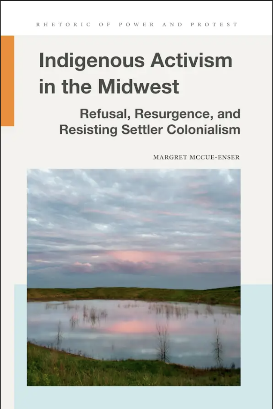
“Indigenous Activism in the Midwest: Refusal, Resurgence and Resisting Settler Colonialism” explores how Dakota and Anishinaabe communities in Minnesota continue their relationships to the land and challenge dominant settler narratives about ownership, belonging and identity.

By Clara Lincolnhol
New research says workers picking, grinding and packaging cannabis are developing workplace-related asthma, and two deaths have occurred so far.
By Eric Freedman
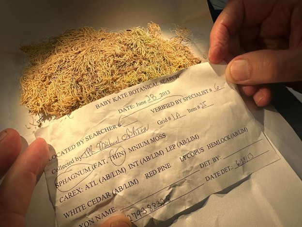
Tiny pieces of moss can be crime-busters, says a study examining how law enforcement agencies, forensic teams and botanists have used moss to solve murders, track missing people, calculate how long ago someone died and – in a notorious Mason County case – try to locate the body of a baby murdered by her father.

By Victoria Witke
New research shows Anishinaabe fire practices shaped today’s Great Lakes ecosystems. The region’s forests never existed and can’t continue to exist without people – or fire.

By Joe Lorenz
Electrification and tariffs mean rural Midwest communities can cash in on their mineral resources. But how can these ventures balance local benefit to the ecological cost?
By Eric Freedman
A Wisconsin bear hunting guide has been barred for a year from hunting on federal land. Timothy Collar’s crime: illegal bear baiting in the Chequamegon-Nicolet National Forest.
By Samantha Ku
New federal policy is aimed at addressing the nation’s wildfire crisis by boosting timber production, but some experts say it’s not expected to have a major impact in Michigan.