By Isabella Figueroa Nogueira
As climate change forces people to reconsider where they live, many cities are bracing for an influx of climate migrants.
A recent study suggests those population shifts alone may not significantly change how some cities grow.
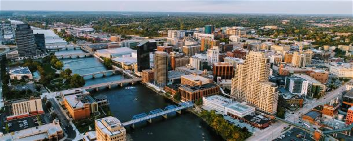
The study used computer modeling to examine future land use and development patterns in Grand Rapids, Michigan, and Colorado Springs, Colorado, two cities facing different climate risks.
According to the study, projected climate-driven migration did not substantially change overall population growth in either city. Instead, local planning decisions play a larger role in shaping where development occurs and how exposed it is to climate hazards.
“These cities have different kinds of exposures to weather hazards,” said Derek Van Berkel, an associate professor of data science, geovisualization and design at the University of Michigan and a co-author of the study.
“You have a place like Grand Rapids – they’re kind of a flood zone. And then, out west, you have more wildfire hazards.”
Van Berkel said the two cities were chosen because they reflect different patterns of urban development in the United States.
Cities in the Eastern U.S., he said, were built largely before widespread automobile use, while western cities developed later and tend to be more spread out.
One of the study’s key findings was that climate migration did not lead to major differences in population growth across scenarios. Van Berkel said that result was largely expected based on how the modeling was designed.
The population projections used in the study were based primarily on displacement from sea level rise. According to Van Berkel, those scenarios estimate that about 13 million people nationwide could be displaced from low-lying coastal areas.
Those displaced residents would be spread across the country, and the study found that individual cities would not experience dramatic population increases.
As a result, the amount of new development required in the model remained relatively similar across scenarios.
Van Berkel cautioned that the study considered only one type of climate stressor. Other climate-related pressures, such as wildfires, drought and hurricanes, were not included.
While climate migration had limited effects on total growth, the study found that planning policies had a stronger influence on where development occurred. By analyzing recent development trends, researchers found that both cities largely avoided high-risk areas such as flood zones and wildfire-prone land.
“What we found is that they’re not developing in those areas,” Van Berkel said.
He said the findings suggest city leaders already have tools to reduce climate risk through planning decisions, even as climate uncertainty grows.
“We should start these conversations a little earlier,” Van Berkel said.
The model simulates urban development by incorporating a site suitability surface derived from the analysis of urban change and environmental factors.
According to the study, tools such as the FUTURES (FUTure Urban-Regional Environment Simulation) land use model simulates urban development by integrating development potential, land demand and urban growth patterns to show increasing density with population growth and the patchy spatial structure typical of North America.
The model can help planners visualize where development is likely to occur and how it crosses with climate risks. Van Berkel said these models provide spatially specific information that cities can use to think more strategically about the future.
“We need spatially explicit information,” he said. “We need to know the location where there are risks.”
Van Berkel added that technical models alone are not enough.
He said cities may also need ways to engage residents directly in planning conversations and incorporate community knowledge into decision-making.
Looking ahead, Van Berkel said city leaders face the challenge of balancing immediate needs with long-term planning.
“What does my city look like in 30 years, 40 years?” he said.