By Dylan Engels
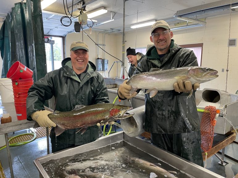
The DNR is collecting 4.5 million steelhead eggs at the Little Manistee River Weir in Manistee County. Most are incubated at the Thompson State Hatchery in Manistique and the Wolf Lake State Hatchery in Mattawan for release next spring.

By Dylan Engels
Fishing licenses for the year are available, and DNR has changed a few requirements. We talk to experts from the Platte River Hatchery in Beulah, DNR and Michigan United Conservation Clubs.

By Emilio Perez Ibarguen
Legislation would let law students and lawyers represent the interests of abused animals in criminal prosecutions related to the animal’s welfare or custody. The idea is rooted in a massive 1995 animal abuse case in Ottawa County.

By Victoria Witke
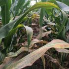
Jacob Faist of Jackson County is among the state’s farmers worried about tar spot, an emerging disease in corn and silage fed to dairy cows. It can lower crop yield, reduce the nutritional value of the corn and reduce milk production. According to a study, Michigan and the Great Lakes region are particularly vulnerable. Researchers did the study in Branch, Ottawa, Ingham and Barry counties. Top producing counties include Lenawee and Ionia.
More Headlines


