
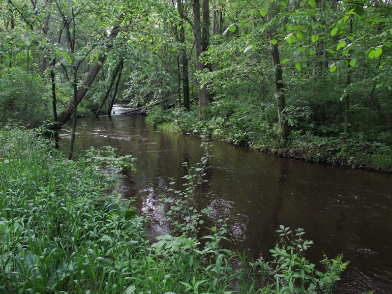
Scientists seek sources of fecal pollution that can contaminate rivers and close beaches
|
By Joshua Kim
Water quality experts are using DNA tools to track down contamination responsible for beach closures and reduced recreational opportunities along the Great Lakes and other Michigan inland lakes and streams.
Wildlife
Why smallmouth bass are getting bigger in Michigan waterways

By Victoria Witke Catch and release ethics is credited for the fact that smallmouth bass in Lake St. Clair have been getting larger over the past 50 years, a DNR study finds. Other factors may include warming Great Lakes water temperatures and longer growing seasons due to climate change.
Land
State asks residents to prepare their homes for wildfires

By Kayte Marshall
It only takes a sunny afternoon, a yard full of dead leaves and one bad decision to turn spring cleaning into a wildfire. The DNR and National Fire Protection Association are advising homeowners to fight fire with foresight this year, especially in Northern Michigan where winter storms left massive amounts of flammable debris and dead trees on the ground.
Land
Labor shortage keeps Ontario farmers from adopting sustainable methods, research finds
By Clara Lincolnhol Many Ontario farmers acknowledge the positive benefits of sustainable farming practices but don’t have the manpower to actually adopt them, according to a study published by the University of Waterloo.