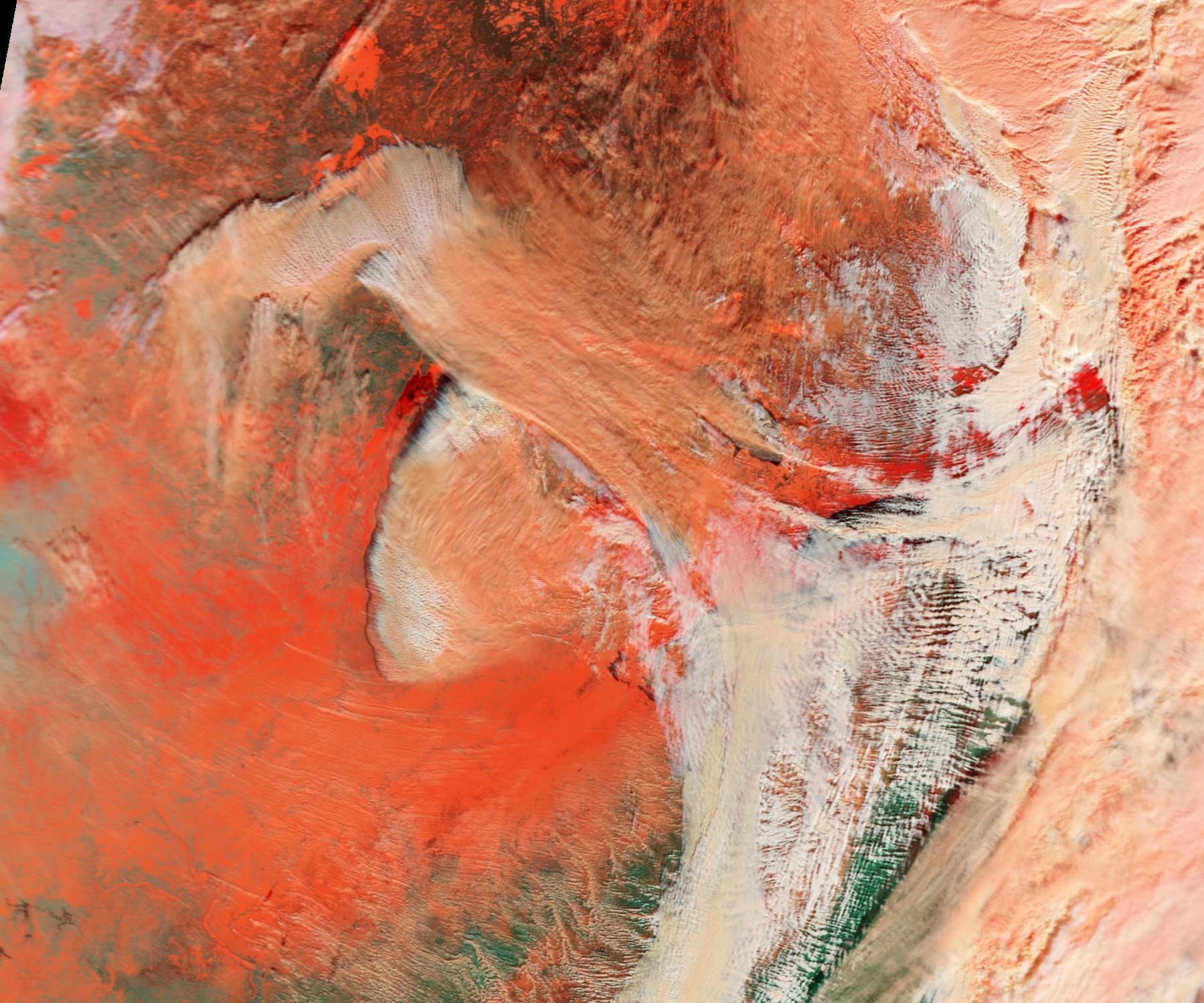
 This color-enhanced picture from the NASA Earth Observatory shows how the cold air moving across warmer waters of Lake Michigan and Lake Superior during this week’s arctic storm transformed water vapor into steam fog.
NASA says one of its satellites on Jan. 6 captured the data used here to illustrate the difference between snow (bright orange), water clouds (white), and mixed clouds (peach).
Here’s what steam fog looked like near Chicago and from the ground view.
