Video by: Jenny Kalish, Silu Guo and Saodat Taylor
Music by: A Story Told
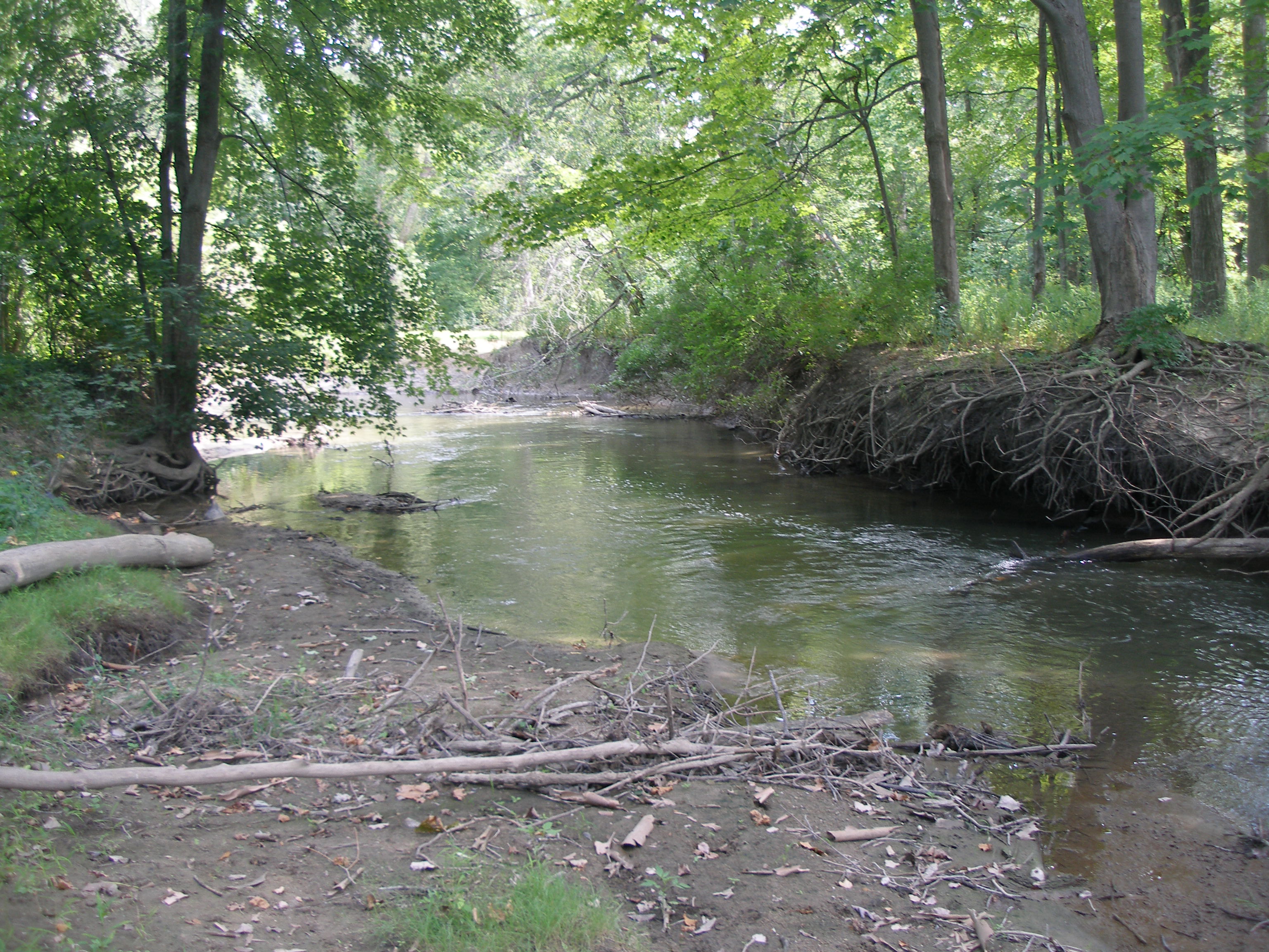
Each week, Great Lakes Echo features a photo story about a different Area of Concern designated by the U.S. or Canadian governments in the Great Lakes basin. Guess where the area is located, based on the description of the site.
This week’s expert is Bill Craig, the remedial action plan advisory council chair for this Area of Concern.
Summary of the area:
- Listed in the early 1970s because of pollution from industrialization, sewer overflows and wastewater.
- There are extreme fish advisories in place due to high levels of polychlorinated biphenyls (PCBs) and mercury.
- The river has four main branches totaling 125 miles of waterways.
- A large portion of the river is hidden from view, running through people’s backyards. The most visible part runs through an industrial corridor.
Last week’s answer: Buffalo River, New York.
View Week Five Great Lakes Areas of Concern in a larger map
Photo credits: Wikipedia Commons; Michigan.gov; U.S. Environmental Protection Agency; Wikipedia.org; City of Southfield; Flickriver.org; Boatnerd.com; NAACP.org; 1000fish.com; Faslanyc.com.
