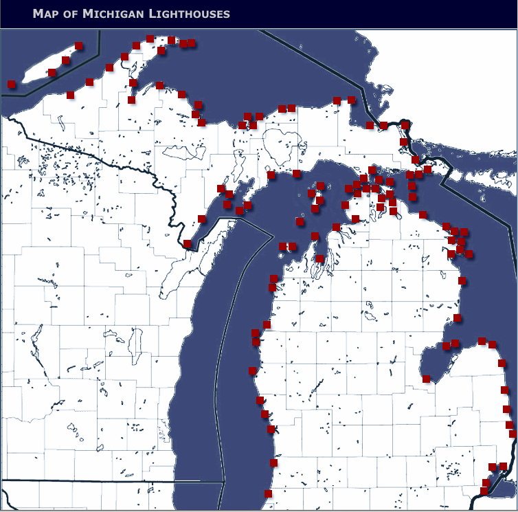
A map of Michigan lighthouses shows locations, photos and more information of the historic structures. Map: Michigan Lighthouse Fund.
Great Lakes ships used to rely on lighthouses during dark hours to avoid disaster. Now largely replaced by electronic location systems, many lighthouse beams are now extinguished.
But you can still spot them, and from the safety of your home rather than from a boat at night.
A map made by the Michigan Lighthouse Fund has information for more than 100 structures along Lake Michigan, Superior and Huron. Information like: When a lighthouse was established, who owns it and what kind of lens it has.
What year was the Port Austin Reef Light established and what is it made of?
Why, in 1878 and of yellow bricks. But sorry, this one isn’t open to the public.
The federal government owns two-thirds of Michigan lighthouses and many are scheduled to be decommissioned and may fall into disrepair. This fund aims to preserve the state’s lighthouses like these and the era they represent.
“The historic structures bear witness to the rich maritime history of the state,” says the fund’s website.
But the map is not complete. Some locations lack photos and other information.
So share the knowledge if you have it. The fund calls for citizen information to help complete it.
