
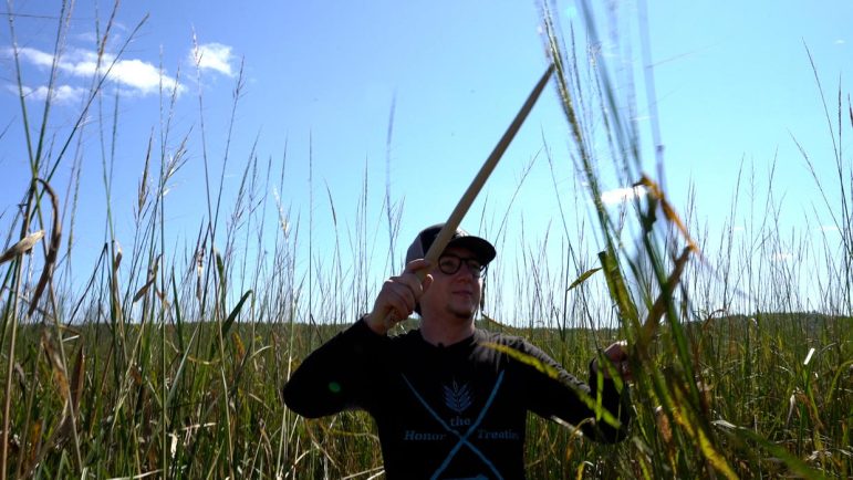
Wild rice being affected by climate change
|
By Isabella Figueroa
To the Ojibwe, manoomin is more than a plant: It’s a sacred relative. However, as lakes warm and waters rise, their ancient bond is being tested by climate change.
Water
Century-old shipwreck discovered in Lake Michigan by a 25-year-old angler

By Isabella Figueroa Nogueira
It was another foggy day of fishing on the Wisconsin waters of Lake Michigan. As 25-year-old Christopher Thuss was scanning the waters for bass, something unexpected appeared on his sonar: an unknown object beneath the surface. What he had discovered was no ordinary catch, but a 102-year-old shipwreck, the J.C. Ames.
Wildlife
New state program encourages Michigan residents to report bat roosts

By Clara Lincolnhol
The Department of Natural Resources is encouraging residents to report bat roosts. These are the places where bats sleep and raise their babies like chimneys, trees and bridges. DNR bat specialist John DePue says the Michigan Bat Roost Monitoring Program will collect data that will help scientists better understand bat behavior and improve conservation methods.
Solutions
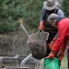
Aquaculture can help local communities, economies and food security, study shows
By Isabella Figueroa
There are many reasons for aquaculture, like food, stocking, ornamental and bait. Historically, commercial fishing provided local, sustainable seafood. Due to environmental regulations, species decline and economic shifts, however, this industry has shrunk in the Great Lakes Region, according to a recent study.