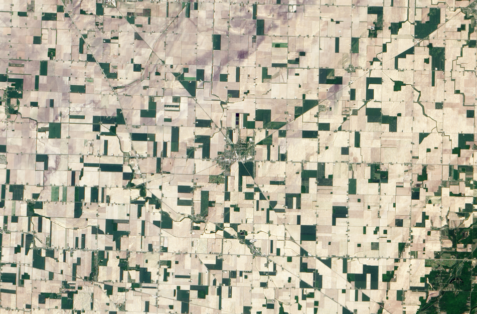
Reese, Mich. as seen from NASA’s Earth Observing-1 satellite on May 21, 2012. Image: NASA
The small town of Reese, just south of the crease of Michigan’s Thumb, was once a bustling supply center at the crossroads of two railways.
This true-color image, taken by NASA’s Earth Observing — 1 satellite on May 21, 2012, shows the town at their intersection.
The green and white square plots of land also gives insight into some of the area’s history, according to a description of the image produced by NASA.
In the late 18th century, the Continental Congress decided how to govern the newly settled lands west of the Appalachian Mountains, according to the NASA description. The Ordinance of 1785 divided the land into townships, and then again into individual square mile plots, creating the colorful collage seen here.
In 1873 the town was established and named after G.W. Reese, the superintendent of the railroad that came that same year. At the crossroads of two railways and next to a new roadway, Reese grew as a supply center for homesteaders for years.